Science
Coastal Resiliency
Cape Cod is particularly vulnerable to climate change. Not only are the seas rising, but the land is sinking. The ice sheet from the glaciers that covered North America 20,000 and 95,000 years ago levered the land upward. Now that that counterweight has disappeared, the land is settling back down. The seas are rising at a rate twice the global average.
Climate change will also cause an increased frequency of extreme weather on Cape Cod. Storm surges, coastal flooding, erosion, damaging winds, hotter summers, and droughts will increase. Hurricanes and nor’easters are forecast to be more frequent and intense. Lives, buildings, infrastructure, coastal environments will be risk and impacting our economic, social, and environmental well-being.
Thankfully Falmouth and the Cape Cod Commission are working to towards climate resilient communities through Climate Action Plans.

A map showing the increasing sea level rise near Oyster Pond. This is from a talk titled “Coastal Risks, Realities and Resilience: Understanding What’s At Stake and Planning for the Future” given by Erika Lentz of the U.S. Geological Survey at the December 2017 Cape Coastal Conference.
The Falmouth Coastal Resiliency Action Committee is working on action plans for addressing the risks and hazards from climate change. OPET was a participant in Falmouth’s Municipal Vulnerability Preparedness (MVP) Program Workshop to identify community strengths and vulnerability to climate hazards. This information was used to develop the Falmouth Climate Change Vulnerability Assessment and Adaptation Planning report. The Woods Hole Group presented the findings of this report at a public meeting in 2019.
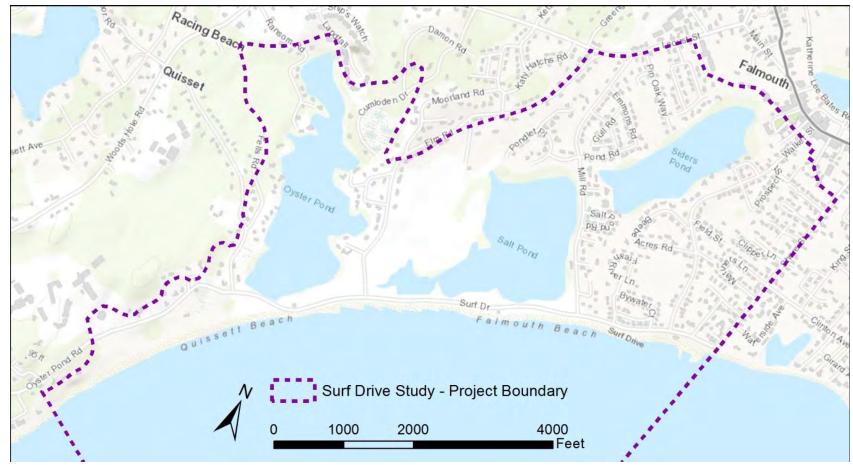
The Town is now looking at areas of the town in more detail. They are focusing first on the Surf Drive area, which includes the Oyster Pond area, as many important municipal infrastructure is located there including the Town Hall and the sewer line that runs under the bike path from Woods Hole to the pumping station in downtown Falmouth. Here is an excellent story map of the Coastal Resiliency Planning for the Surf Drive area.